Cincinnati, Ohio, USA
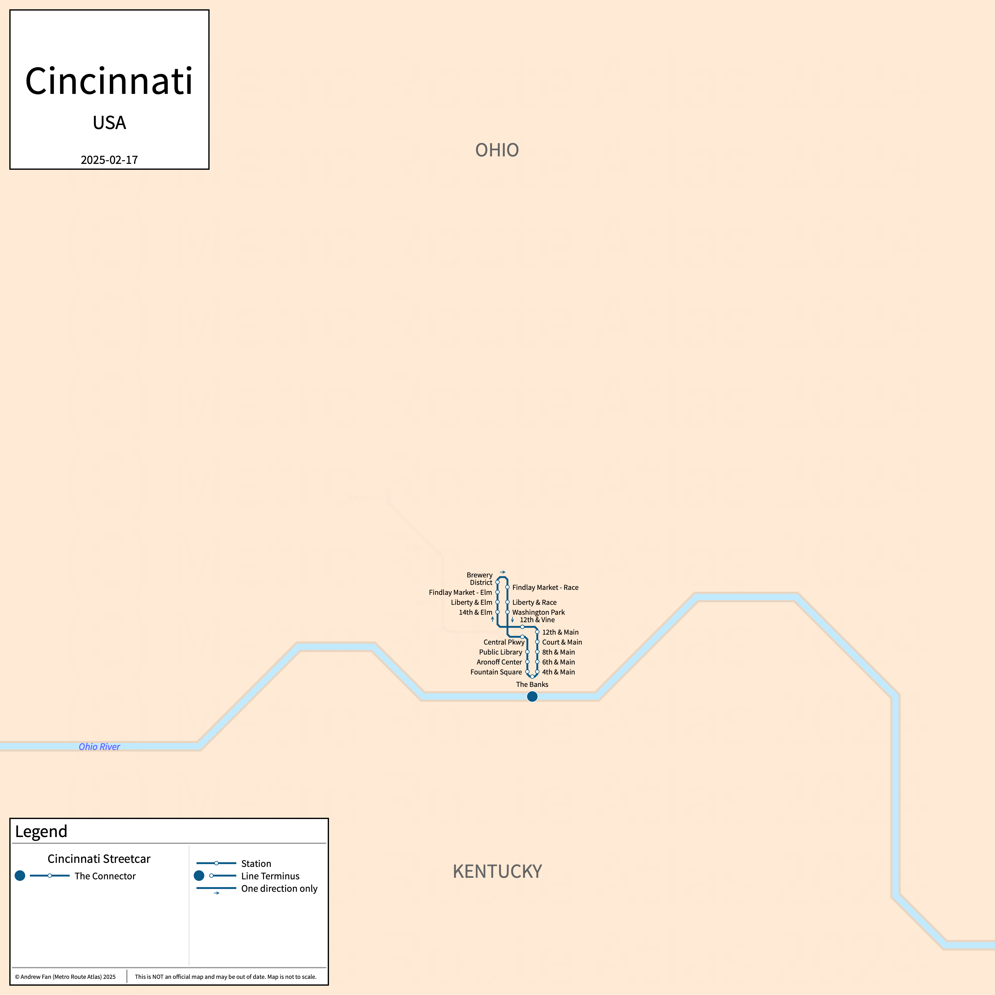
Table of Contents
Overview - Cincinnati
Located on the Ohio River across from Kentucky and close to the eastern border with Indiana, Cincinnati is the seat of Hamilton County and the third largest city by population in Ohio. It has approximately 311,000 inhabitants in the city proper as of 2023. The Cincinnati metropolitan area (Cincinnati) comprised 2,271,479 residents as of the 2023 US Census Bureau Estimate.
Cincinnati has a single modern streetcar service.
Cincinnati Streetcar
Cincinnati Streetcar
The Cincinnati Streetcar (also known as the the Connector and formerly the Cincinnati Bell Connector) is a modern streetcar service on a North-South alignment. It runs from Findlay Market in the north to The Banks in the south on a single track loop, serving 18 single direction stops.
The Cincinnati Streetcar was opened in September 2016. The Cincinnati Streetcar is owned by the City of Cincinnati.
| Service | M-F Midday | M-F Rush | Sat. | Sun. | Notes |
|---|---|---|---|---|---|
| The Connector | 15' | 15' | 15' | 15' |
Schedules -- Last Updated: Feb 17, 2025
References & Helpful Links
Cincinnati Bell Connector at Wikipedia
Official Website for The Connector: City of Cincinnati
Maps
Official Line Map - Cincinnati Streetcar [PDF] [Last Accessed Feb 17, 2025]
Other Sources
Cincinnati, USA at Urbanrail.net
Asset Notes
Cincinnati Streetcar color taken from official route map as of August 16, 2020.